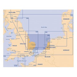
Merk: Imray
Model: YOT0170
For this 2014 edition, the chart has been fully updated throughout, using revised depth data where applicable...
€31,50
Excl. BTW:€26,03
Merk: Imray
Model: YOT0190
On this 2018 edition the latest depth surveys have been applied. The chart specification has been improved to show coloured light flashes. There has been general updating throughout...
€31,50
Excl. BTW:€26,03
Merk: Imray
Model: YOT0210
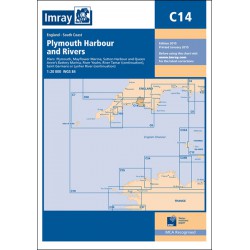
Plymouth (1:12 500) Mayflower Marina (1:4500) Sutton Harbour and Queen Anne's Battery Marina (1:4500) River Yealm (1:12 500) Continuation of River Tamar (1:20 000) Continuation of Saint Germans or Lynher River (1:20 000) For this 2017 edition the chart has been fully updated using re..
€31,50
Excl. BTW:€26,03
Merk: Imray
Model: YOT0211
For this 2018 edition the latest depth surveys have been applied throughout. The 2016 Solent racing buoy names and positions are shown..
€31,50
Excl. BTW:€26,03
Merk: Imray
Model: YOT0214
For this 2016 edition the chart has been fully updated throughout using the latest known depths, buoyage, and areas and limits...
€31,50
Excl. BTW:€26,03
Merk: Imray
Model: YOT0215
For this last edition changes have been made to depths and navigational aids as required. Harbour developments and general updating has been applied throughout, and the chart now shows details of the amended Strait of Gibraltar TSS...
€31,50
Excl. BTW:€26,03
Merk: Imray
Model: YOT0090
On this 2016 edition depths from the latest surveys have been applied throughout. The chart also now shows the London Gateway Container Port, as well as the revised buoyage in its approaches. Various developments to harbours and jetties are also shown...
€31,50
Excl. BTW:€26,03
Merk: Imray
Model: YOT0219
This edition has been fully updated with revised depths applied throughout, in particular at Wick Bay, Burghead, Montrose Harbour, Aberdeen and the approaches to Inverness Firth. Harbour developments are shown at Wick Bay, Peterhead and Aberdeen...
€31,50
Excl. BTW:€26,03
Merk: Imray
Model: YOT0220
For this latest edition the chart has been fully updated throughout using revised depth surveys where possible. Whitby harbour developments and the operational Teeside wind farm are also now shown...
€31,50
Excl. BTW:€26,03
Merk: Imray
Model: YOT0320
Op deze laatste editie zijn er in de gehele periode veranderingen aangebracht aan diepten, windparken, beperkte gebieden en olie- en gasvelden. Deze Imray waterkaart wordt niet ieder jaar opnieuw gedrukt. Om deze Imray waterkaart up to date te houden kunt u een correctieblad downloaden.PRINTED AUGU..
€31,50
Excl. BTW:€26,03
Merk: Imray
Model: YOT0330
On this edition changes have been made to depths, windfarms, restricted areas, and oil and gas fields throughout. Changes to the North Friesland TSS, due to be implemented 2018, are shown...
€31,50
Excl. BTW:€26,03
Merk: Imray
Model: YOT0340
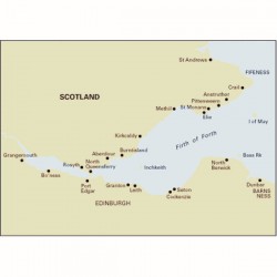
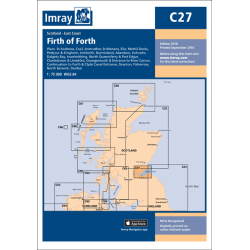
On this 2018 edition, the latest known depths have been applied throughout the main chart and on the plans of Grangemouth and Granton. Harbour developments are shown at Granton...
€31,50
Excl. BTW:€26,03



-250x250h.jpg)
