Merk: Imray
Model: YOT0350
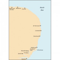
For this 2017 edition the chart has been fully updated throughout using extensive new depth surveys. The completed Greater Gabbard wind farm is now shown. The sketch plans of Wells and Blakeney Harbour have been revised and updated.PRINT SEPTEMBER 2017..
€31,50
Excl. BTW:€26,03
Merk: Imray
Model: YOT0360
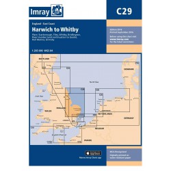
For this new edition the chart has been fully updated throughout. Depths from the latest known surveys have been used, particularly in the River Humber and estuary, and the waters around Great Yarmouth and Lowestoft. The chart shows the latest wind farm updates, plus harbour developments at Grimsby...
€31,50
Excl. BTW:€26,03
Merk: Imray
Model: YOT0100
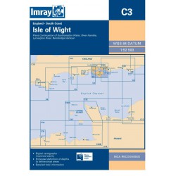
Lymington River (1:17 500) River Hamble (1:20 000) Bembridge Harbour (1:20 000) Continuation of Southampton Water (1:45 000) On this 2018 edition the latest depth surveys have been applied throughout...
€31,50
Excl. BTW:€26,03
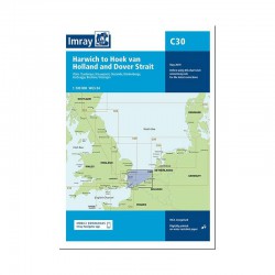
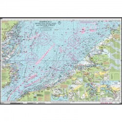
Merk: Imray
Model: YOT0370
This 2019 may edition of Imray's best-selling chart of the southern North Sea has been fully updated with revised depths throughout. The latest wind farm developments are also shown...
€31,50
Excl. BTW:€26,03
Merk: Imray
Model: YOT0380
Voor deze editie 2021 is de kaart volledig geupdate door gebruik te maken van de laatste beschikbare diepte-gegevens. Deze Imray waterkaart wordt niet ieder jaar opnieuw gedrukt. Om deze Imray waterkaart up to date te houden kunt u op www.Imray.com een correctieblad downloaden. Dit correctieblad kun..
€31,50
Excl. BTW:€26,03
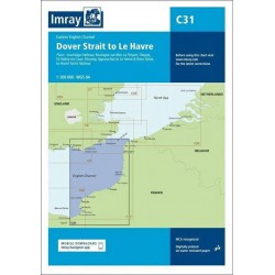
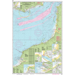
Merk: Imray
Model: YOT0390
For this 2017 edition, the chart has been fully updated. The latest known depths have been applied throughout and the completed harbour works are shown at Ouistreham.PRINT SEPTEMBER 2017..
€31,50
Excl. BTW:€26,03
Merk: Imray
Model: YOT0400
2018 EDITION - Fully updated, plus the chart has been reschemed. New plans of Herm Harbour & RosiÞre Anchorage and Bays of Sark replace Goury and Portbail. The DiÚlette plan has been redrawn to show approaches at a more suitable scale, plus the Omonville plan has been repositioned for a better WGS 8..
€31,50
Excl. BTW:€26,03
Merk: Imray
Model: YOT0401
St-Quay-Portrieux Binic Port du Legue Dahouet Erquy St-Malo Approaches St-Malo Granville St Helier Approaches (Jersey) St Helier Harbour..
€31,50
Excl. BTW:€26,03
Merk: Imray
Model: YOT0410
For this 2014 the chart has been fully updated throughout. Revised depths have been applied where necessary and positional accuracy with reference to WGS84 Datum has been improved. The plan of Port du LÚguÚ has been replaced with a correctly scaled plan...
€31,50
Excl. BTW:€26,03
Merk: Imray
Model: YOT0420
For this 2013 edition, the plan of Roscoff has been expanded to show approaches to the new Bloscon Marina. The remainder of the chart has been fully modernised and updated throughout...
€31,50
Excl. BTW:€26,03
Merk: Imray
Model: YOT0430
For this edition the chart has been fully checked and updated throughout. always the latest edition on stock..
€31,50
Excl. BTW:€26,03
Merk: Imray
Model: YOT0440
LOdet Fleuve Lesconil Ile de Sein BÚnodet Audierne La Guilvinec Loctudy St GuÚnolelatest edition..
€31,50
Excl. BTW:€26,03

-150x150.jpg)


